 |
|
|
|
 |
 |
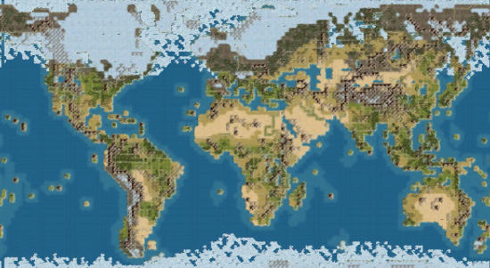
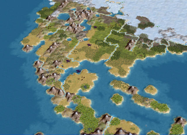
Civilization IV official Ice Age Earth map

What if civilizations started developing 20000 years before present?
This map features the Earth in 20000BP, that is during the peak of the last Ice Age.
Coastlines, terrains, rivers and resources have been placed accordingly to the tentative knowledge we have now of those times.
So, there are horses in the American continent, the Bering Strait is frozen, Australia is attached to Asia, ice sheets reach Spain, the Teays is the longest river in North America, and so on...

When you get used to it, the modern world will seem so warm and wet!
11 players will start in this 124x68 map in the starting plots corresponding to the major spots of human activity at that time.

 Downloads Downloads
 BACK BACK
|
|
 |
|
|